Bostancı, Istanbul: a mahalle of Kadıköy, mapped by its stations
Bostancı, Istanbul, is a mahalle at the eastern end of Kadıköy district, on the Marmara coast. This guide covers its two metro stations, the Marmaray station, the pier, the boundary with Altıntepe and what to check on an address.
- 32,415Residents counted at the end of 2024
- 4thMost populated of Kadıköy’s 21 mahalle
- 1.8km²Area, stretching about 2 km from shore to the D-100
- 2Metro stations called Bostancı: M4 inland, M8 on the coast
Which district is Bostancı in?
Bostancı is a mahalle of Kadıköy district, on the Asian, or Anatolian, side of Istanbul. A mahalle is an official neighbourhood, and the one printed on a title deed is the one the Land Registry uses. Bostancı is the easternmost mahalle of its district, with the Sea of Marmara to the south.
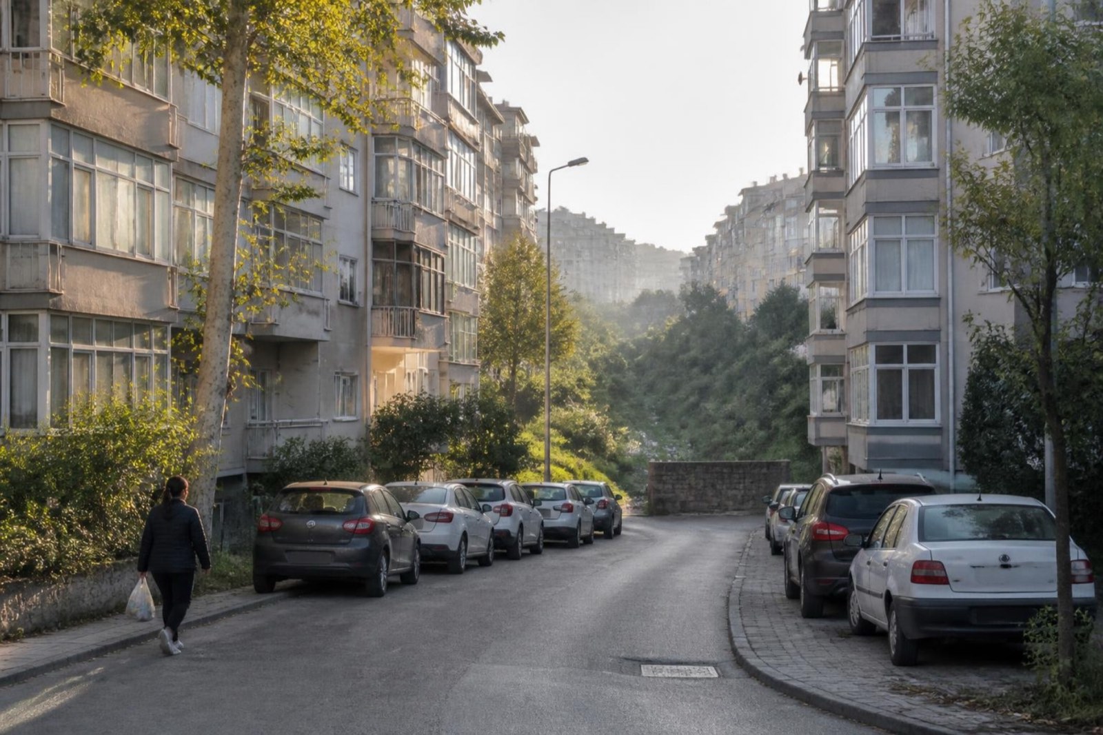
Suadiye and Kozyatağı lie to the west. İçerenköy, in Ataşehir district, lies to the north, and Altıntepe, in Maltepe district, to the east. Küçükyalı, the next station along the railway, is not a neighbouring mahalle: it belongs to Maltepe district.
For notices, events and services, see Kadıköy Municipality.
Bostancı in numbers
At the end of 2024 Bostancı had 32,415 residents. That is the fourth highest count among Kadıköy’s 21 mahalle and about 7% of the district’s total for that year, 462,189. In 2025 the whole district had 458,573 residents, but we found no 2025 figure for the mahalle.
The mahalle covers about 1.8 km² and stretches about 2 km from the shore towards the D-100. Since 2008 its count has stayed between about 31,000 and 37,000.
| Year | Residents | Note |
|---|---|---|
| 2008 | 37,061 | |
| 2015 | 33,142 | |
| 2016 | 31,399 | Lowest in the series |
| 2019 | 33,191 | |
| 2021 | 33,819 | |
| 2022 | 33,638 | |
| 2023 | 32,666 | |
| 2024 | 32,415 | Latest count we found |
From summer resort to apartment blocks
The name comes from the Ottoman bostancı derbendi, a guard post that controlled entry to the city. The outpost stood at the Bostancıbaşı Bridge, over the stream now called Çamaşırcı Deresi.
For a long time Bostancı was a summer-resort area. The Baghdad Railway, which passed through in the late nineteenth century, began its revival, and families who lost their homes in the 1916 Cihangir fire settled here. Two-storey villas followed from about 1930, and a tram once ran to Bostancı.
From the 1980s the villas gave way to blocks, according to the mahalle’s own history: four storeys on the shore, five on both sides of Bağdat Caddesi and eight to ten elsewhere. The coastal road works of 1985–1995 filled the shore itself.
Older landmarks include Bostancı Camii, built by the Evkaf Ministry in 1913, and the pier of 1912–13. Bostancı Gösteri Merkezi, a performance centre, opened on 23 April 1991.
Which metro station is Bostancı? M4, M8 and Marmaray
Bostancı has two metro stations with the same name, plus a Marmaray station. They stand in different places and serve different lines. The cards below show each one with its neighbours.
Marmaray Commuter rail between Gebze and Halkalı. Bostancı is one of seven stations where intercity and suburban trains can transfer, with Suadiye to the west and Küçükyalı to the east
- Erenköy
- Suadiye
- Bostancı
- Küçükyalı
- İdealtepe
- Süreyya Plajı
- Maltepe
- Cevizli
M4 The inland Bostancı station, underground beneath the road interchange: the eighth of 23 stations on the way from Kadıköy to Sabiha Gökçen Airport
- Kozyatağı
- Bostancı
- Küçükyalı
M8 The coastal Bostancı station, the southern terminus of the Bostancı–Parseller line opened in January 2023; it stands on the Kadıköy–Maltepe boundary, and the change to the M4 is at Kozyatağı
- Bostancı
- Emin Ali Paşa
- Ayşekadın
- Kozyatağı
Pier Şehir Hatları lists the Islands, Kadıköy and Kabataş from this pier, and a terminal stands beside it; the weather can cancel sailings
- Bostancı pier
- Adalar
- Kadıköy
- Kabataş
Each card shows the stops either side of Bostancı. The M8 list starts at its terminus.
The M8 runs from Bostancı to Parseller. It opened on 6 January 2023 with 13 stations, all underground and driverless. Its Bostancı terminus stands on the Kadıköy–Maltepe boundary, and the Istanbul Metropolitan Municipality placed it exactly there at a 2024 opening ceremony. At the terminus, passengers can change to Marmaray, to the Şehir Hatları pier and to the İDO terminal.
The M4 station is another place altogether. It opened on 17 August 2012 with the first section of the line, in Kadıköy, underground beneath the Bostancı interchange. It is the largest station on the M4 and the eighth of 23, with Kozyatağı before it and Küçükyalı after it, and fifteen stops still to go to Sabiha Gökçen Airport.
The two metro lines do not meet at Bostancı. Their interchange is Kozyatağı, three M8 stops from the terminus. We found no official walking distance between the two Bostancı stations, so we give none.
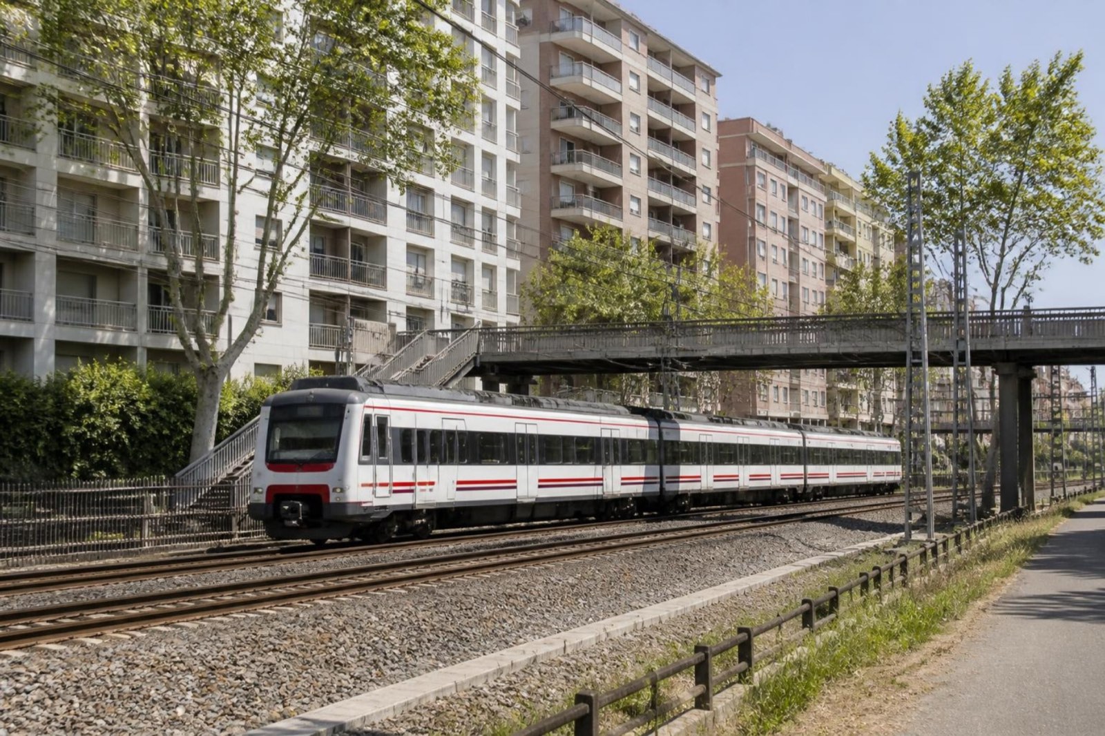
Bostancı railway station first opened on 22 September 1872. It closed on 19 June 2013 for the Marmaray works and reopened on 12 March 2019, the day the whole line from Halkalı to Gebze opened. The station has three tracks: an island platform for Marmaray and an edge platform for high-speed and intercity trains. Suadiye is the next Marmaray stop to the west and Küçükyalı the next to the east.
High-speed (YHT) trains have been listed at this station. Services change, so check the operator before you rely on one. For Sabiha Gökçen Airport, the M4 runs straight from the inland station, while from the coast you take the M8 to Kozyatağı and change.
We quote no journey times, fares or timetables. See Metro İstanbul for the metro and TCDD Taşımacılık for Marmaray and high-speed trains.
The pier and the shore
Bostancı pier is in Kadıköy, about 90 m south of the railway station. Şehir Hatları, the municipal ferry company, lists services from it to the Princes’ Islands, Kadıköy and Kabataş. A lodos storm in February 2023 stopped several of them, which shows how much the weather matters.
An İDO terminal stands beside the pier. İDO’s routes from Bostancı have changed over the years, so check both operators for what runs today. The mahalle’s Turkish Wikipedia article calls the pier one of the closest points to the Islands.
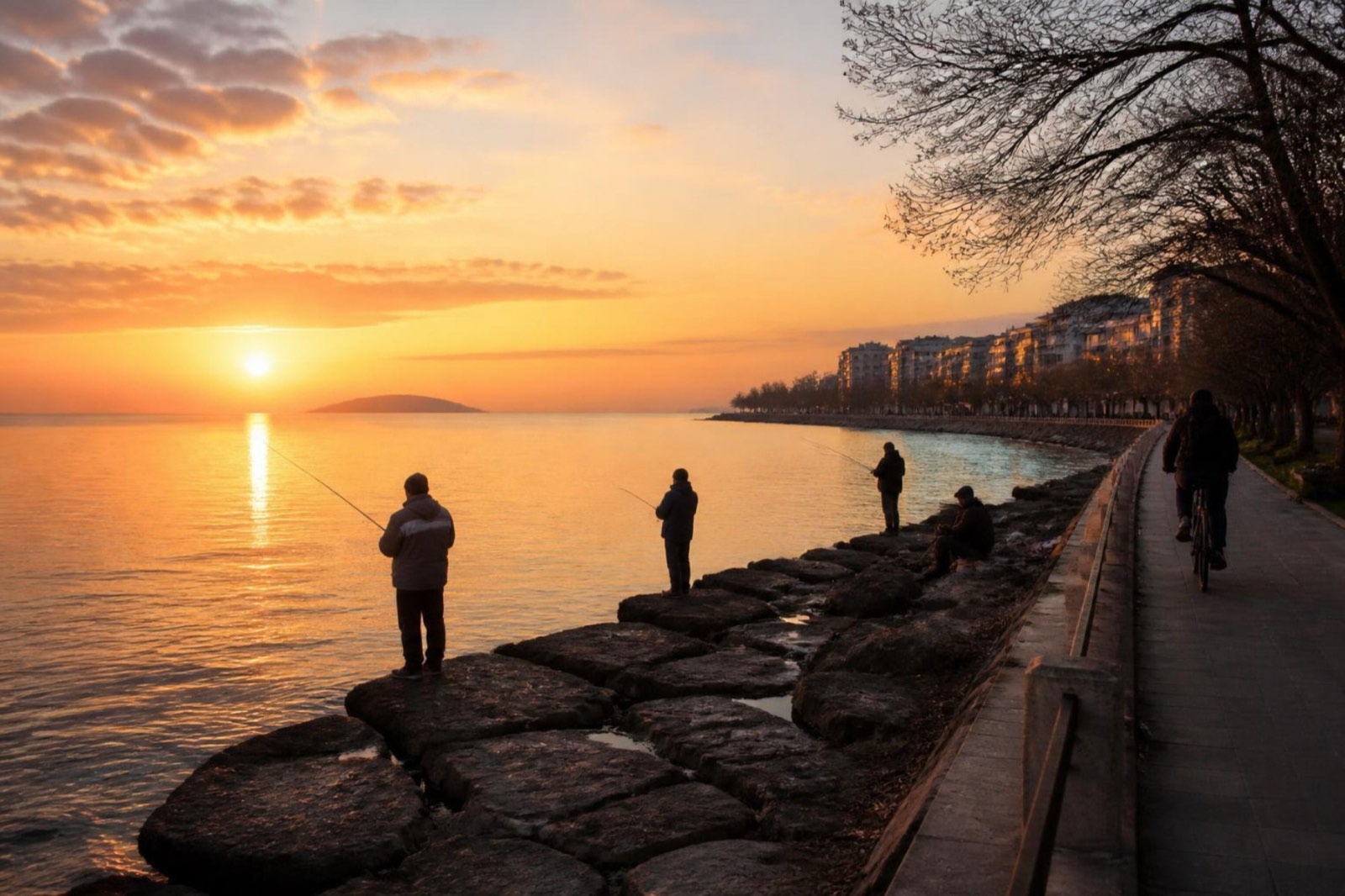
Sailing times and fares vary, so we give none: see Şehir Hatları.
The shore was landscaped again in 2024. On 3 July of that year, the Istanbul Metropolitan Municipality opened the landscaping around the M8 station together with the first stage of the Çamaşırcıdere Yaşam Vadisi, a stream-valley park with green space, sports courts, play areas and walking and cycling paths.
By road: the D-100, bus 4 and dolmuş
The D-100, popularly called the E-5, forms the northern boundary of Kadıköy district, and Bostancı stretches about 2 km from the shore towards it. The O-2 motorway meets the D-100 at Kozyatağı, the mahalle next door to the west.
İETT’s ring line 4 has linked Bostancı with Kadıköy since the 1930s, and dolmuş services to Kadıköy continue. We name no other bus lines, because they change.
Where Bostancı ends: Altıntepe and the stream
Altıntepe is a mahalle of Maltepe district with 30,926 residents (2024). The stream Çamaşırcı Deresi runs along its boundary with Bostancı. We keep the two counts apart on purpose, and we found no figure for how many addresses use the Bostancı name across the border.
Three things blur the line: the M8 terminus on the boundary, the Bostancı name on two metro stations, and Bağdat Caddesi, whose Kadıköy stretch ends here and which runs on across the border. People do search for “Bostancı Altıntepe” as one phrase.
Before you view a flat, read the mahalle on the title deed. The land registry is kept per mahalle, and the first section of the deed gives the province, district, mahalle, block (ada) and parcel (parsel).
Which part of Bostancı suits you?
Start with the station you will use most. Then weigh the outlook against how old the block is.
Around the pier and the Marmaray station
For rail and boat: Marmaray and the pier are close together, and the M8 has transfers here. Ask to view at rush hour.
Shore side, between Bağdat Caddesi and the sea
For the coast and its path. Check the floor and what stands in front of the balcony, and ask to see the view in daylight.
Inland, around the M4 station
For the M4 towards Kozyatağı and the airport, away from the water. The D-100 lies about 2 km from the shore.
East side, towards the stream
For the stream valley and the M8 terminus. The boundary is near, so confirm the mahalle on the deed.