Bostancı ferry and pier: islands, Kabataş and the shore
The Bostancı pier and the İDO terminal beside it, the Şehir Hatları lines named for Bostancı, the filled shore, and what to check if you want a sea view.
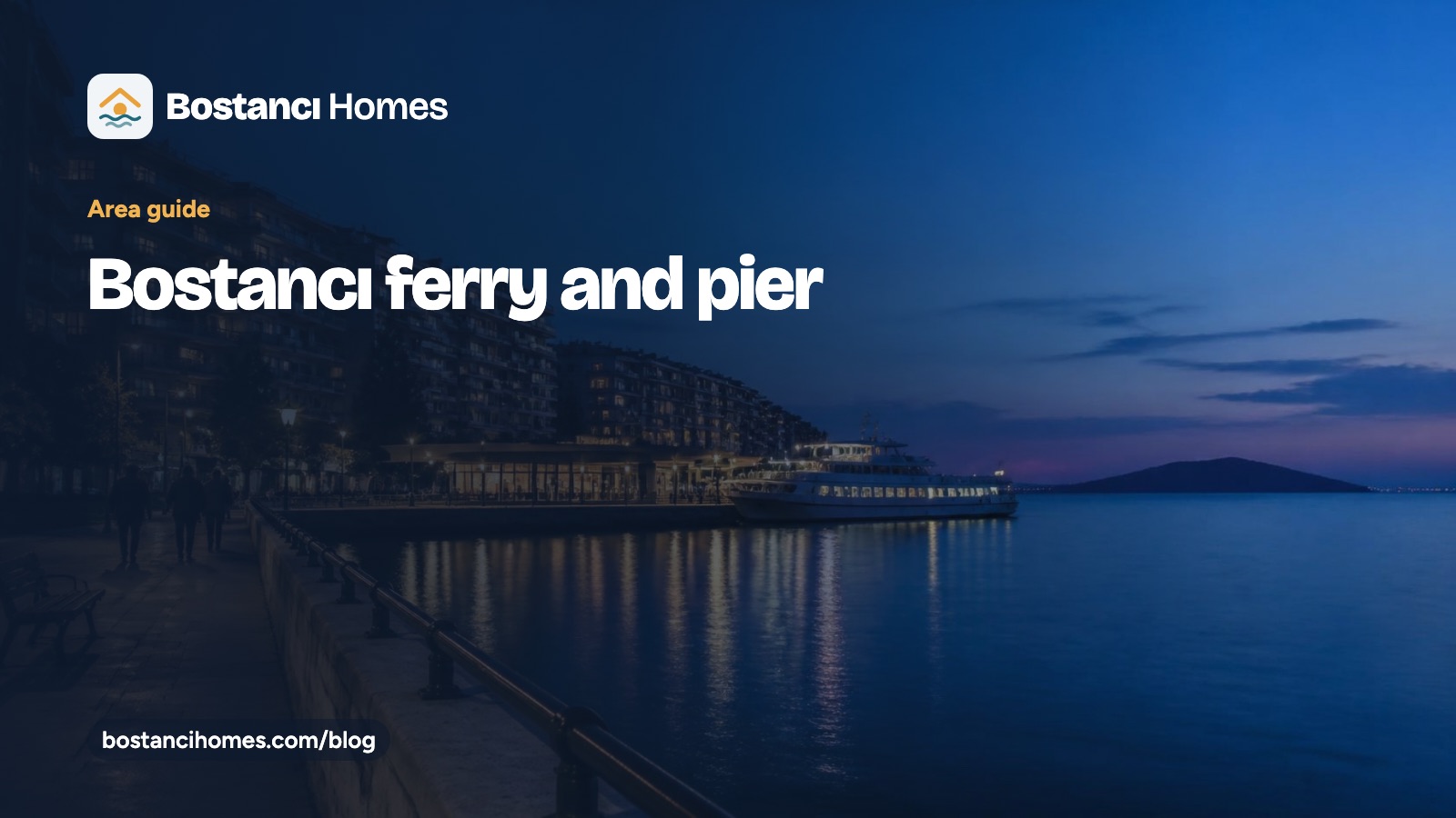
The Bostancı ferry is the sea link of this eastern corner of Kadıköy. According to Turkish Wikipedia, the pier building dates from 1912–13, and an İDO terminal now stands beside it. This guide covers the lines named for Bostancı, how weather affects them, and how to reach the pier. It gives no timetables, fares or journey times, because operators change them. Check each operator before you travel, starting with İDO.
The Bostancı ferry pier and the İDO terminal beside it
Two operators matter here. Şehir Hatları, the Istanbul municipality’s ferry company, runs services from the pier to the Princes’ Islands, Kadıköy and Kabataş. İDO has a terminal next to the pier. Its services have changed over the years, so we name no İDO routes. Instead, check both operators for what runs today. The pier lies about 90 m south of the railway station, according to English Wikipedia.
Lines Şehir Hatları names from Bostancı: the Islands and Kabataş
A weather notice from 2 February 2023 listed three lines: Maltepe–Adalar, Bostancı–Karaköy–Kabataş and Bostancı–Moda–Kadıköy–Kabataş. A lodos storm stopped all three that day. The example is useful for a different reason. Sea services depend on the weather, so a ferry commute needs a plan for the days when it does not run.
Bostancı ferry and the Princes’ Islands
Turkish Wikipedia calls Bostancı one of the closest points to the Islands. That describes the pier’s place on the map. We make no claim about any flat’s view of the Islands. Whether a particular window shows them is something to see for yourself, in daylight.
The shore: filled land, 2024 landscaping and the stream valley
The shore you see today is partly made land. The Kadıköy–Pendik coastal road works of 1985–1995 filled it, as Turkish Wikipedia’s article on the mahalle describes. On 3 July 2024, the Istanbul municipality (İBB) opened new landscaping around the M8 station and the first stage of the Çamaşırcıdere life valley. According to Medyascope’s report, it includes green space, sports courts, play areas and walking and cycling paths. The valley follows the stream that runs along the boundary with Altıntepe.
Getting to the Bostancı ferry: M8, Marmaray, bus 4 and dolmuş
The M8 terminus lists both the Marmaray station and the Şehir Hatları pier among its transfers, so the rail and sea links are meant to work together. On the road, İETT bus line 4 has linked Bostancı with Kadıköy since the 1930s, and Kadıköy minibuses (dolmuş) continue. For a longer view of the stations, read our Bostancı metro station guide.
If you want a sea view, what to check in a flat
A “sea view” in an advert can mean very different things. Before you travel, ask four questions. Which floor is the flat on? Which way do the main windows face? What stands in front of them, now or later? Can the agent show you the view in daylight, by video if you are abroad? Then compare the answers with the photos. The shore is about the whole mahalle; the view belongs to one window.
Ask us about Bostancı apartments near the pier
See the current Bostancı properties for sale, or read the Bostancı area guide for the history of the pier and the shore. If you are buying from abroad, the buying guide lists the steps. Questions about a particular street? Write to us and we will reply.